Environmental Services
![]()
GIS/Geospatial
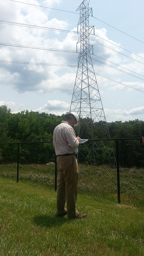
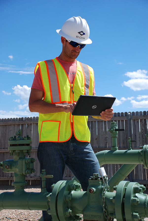
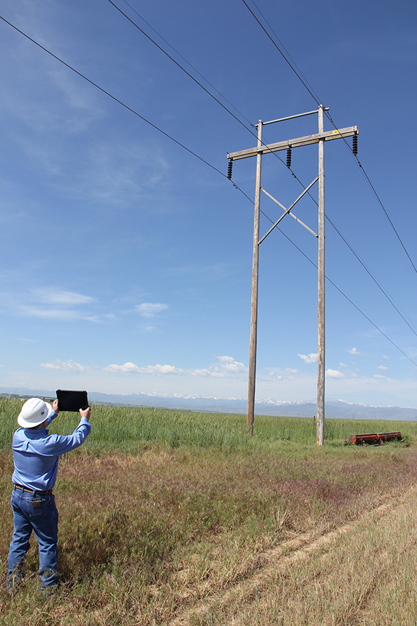
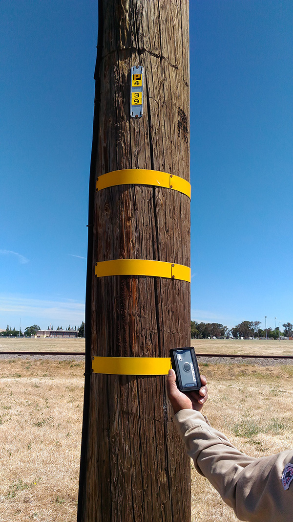
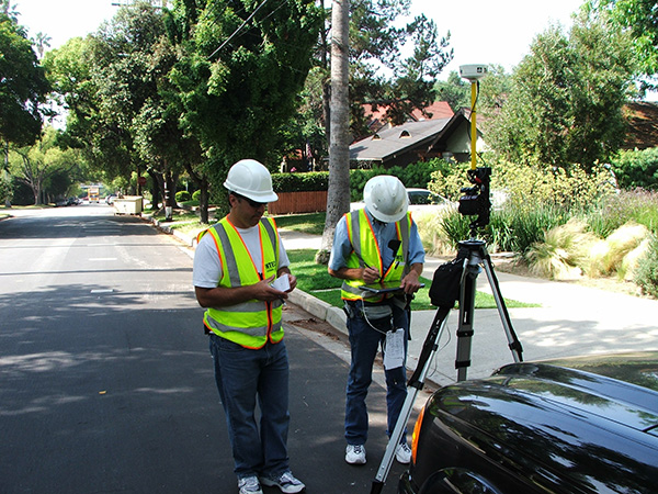
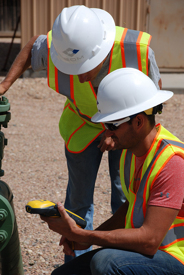
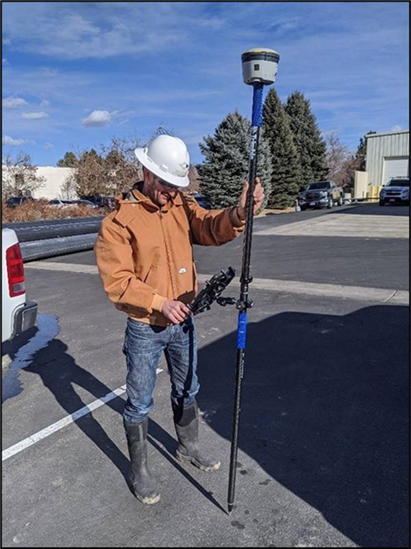
DM has a talented and experienced GIS team that supports both internal projects and consults directly to clients. The GIS team provides state-of-the-art mapping and spatial analysis support with the latest ArcGIS, AutoCAD and CartoPac software and Trimble hardware featuring sub-foot GPS accuracy. The team focuses on database design, geospatial app development/configuration, project operations tracking, and predictive modeling. GIS serves as the “hub” for all inspection projects including virtual inspections as data and deliverables flow through GIS. Where needed, spatial data is collected in the field using custom, project-specific forms based on CartoPac’s GPS/GIS-enabled mobile data collection platform. Mobile data collection integrated with cloud-based mapping streamlines workflow, improves accuracy, and maximizes worker efficiency.
The GIS team also works heavily with project and asset managers to model risk to assets, select scope for future mitigation work, and track and geospatially visualize progress throughout any given phase of a project. Web-based apps are used to raise visibility and share data across a wide array of stakeholders.
GIS/Geospatial areas of technical specialties include:
- Maps and Cartography
- Facility and Resource Mapping
- Spatial Analysis and Statistical Modeling
- Mobile Data Collection and High-Accuracy GNSS
- Database Design
- Project Development/Tracking
- Dashboards and Reporting
- UAS Product Processing
- ArcGIS Enterprise and ArcGIS Online
- Scripting and app development
