
Environmental Services
![]()
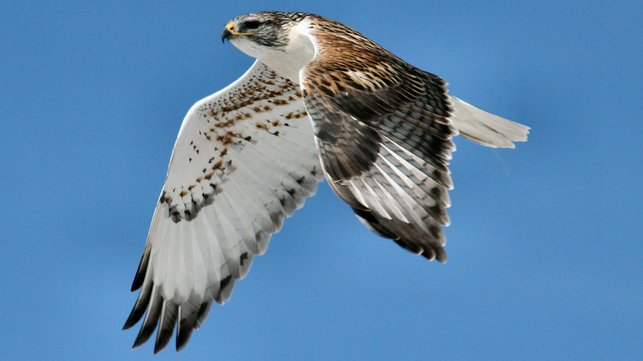
EDM’s Environmental Services group is composed of a team of wildlife biologists, regulatory and communications specialists, Uncrewed Aircraft System (UAS) pilots, and GIS experts. EDM works collaboratively across disciplines to develop practical, science-based solutions to environmental challenges on behalf of electric utilities, industry, government agencies, and non-governmental organizations. EDM is internationally known for research and consultation solutions to avian electrocutions, avian collisions, and animal-caused outages. EDM’s key to success is its team members, who bring unique and complementary skills, passion, and creativity.
- Avian Protection, Assessment & Mitigation
- Avian Collision Avoidance System (ACAS)
- Environmental Permitting & Compliance
- Natural Resource Assessment and Planning
- GIS/Geospatial
- Wildfire Mitigation
- Vegetation Management
- Uncrewed Aircraft System (UAS) Services
- Mobile Data Collection, Mapping and Spatial Analysis
- Applied Research, Product R&D and Outreach